The Silent Frontier: Why Deep-Sea Mapping Matters
The Earth is primarily an oceanic planet, yet we have mapped more of the surface of Mars than we have our own ocean floors. The challenges are monumental: crushing pressure, absolute darkness, and the sheer vastness of the abyssal plains. Historically, human-led sonar surveys have been prohibitively expensive, slow, and intermittent. However, the paradigm is shifting toward AI-driven adaptive deep-sea cartography, a frontier where robotics, machine learning, and sensor fusion converge to unlock the mysteries of the deep.
The Shift to Autonomous Swarms
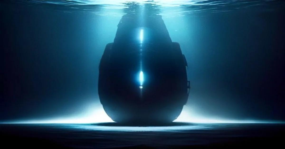
Traditional hydrographic surveying relied on single, massive research vessels towing sonar arrays. This model is being replaced by fleets of Autonomous Underwater Vehicles (AUVs). These drones operate in collaborative swarms, communicating through acoustic modems to synchronize their movements. By deploying hundreds of units simultaneously, we can cover thousands of square kilometers in the time it once took to map a small coastal shelf.
'The integration of neural networks into AUV navigation allows these machines to treat the ocean floor not just as a static data set, but as a dynamic environment that requires intelligent decision-making.'
Machine Learning and Terrain Recognition
At the core of this revolution is the ability of AUVs to perform real-time adaptive path planning. As the drone glides over the seafloor, it uses on-board processing to identify geological features. If the AI detects a high-interest area—such as a hydrothermal vent or a potential archaeological site—it automatically pauses its grid-based search pattern to conduct high-resolution scans. This autonomy is crucial because underwater communication is limited by the speed of sound and signal degradation, making human-in-the-loop navigation impossible for large-scale operations.
Overcoming Data Latency and Processing
One of the greatest bottlenecks in ocean mapping is data throughput. Raw sonar data is massive and cannot be transmitted to the surface in real-time. Instead, adaptive cartography relies on edge computing. High-performance processors housed within the waterproof hulls of these submersibles run compressed neural networks that process and synthesize data on the fly. This ensures that only the most relevant, high-value data is transmitted to satellite links when the AUVs return to the surface.
Future Implications and Environmental Conservation
Understanding the topography of the seafloor is not merely an academic exercise; it is a prerequisite for planetary health. Accurate maps allow scientists to:
- Model ocean currents more effectively for climate prediction
- Identify fragile ecosystems to prevent industrial damage
- Locate methane seeps and volcanic activity
- Secure subsea infrastructure like global telecommunications cables
The Ethics of Autonomous Exploration
The deployment of autonomous agents into international waters raises critical ethical questions. Who owns the maps generated by private companies? How do we ensure that AI-driven exploitation of deep-sea resources respects the delicate balance of benthic ecosystems? As we refine our ability to map these regions, the framework for global maritime governance must evolve alongside the technology. We must ensure that the digital twin of our ocean floor remains a resource for all of humanity rather than a subject of unbridled extraction.
Technological Hurdles to Overcome
Despite the leaps in innovation, significant barriers remain. Battery density remains the biggest limiting factor for long-term endurance. Solar-powered surface vessels acting as 'motherships' for AUV swarms are currently being developed to mitigate this, allowing for missions lasting months rather than hours. Furthermore, the development of robust bio-inspired algorithms—mimicking the way schools of fish navigate complex environments—will be the next phase of evolution for these systems. By utilizing swarm intelligence, individual units can work collectively to overcome sensor noise and environmental unpredictability.
Conclusion: The Dawn of a New Era
The synthesis of artificial intelligence and deep-sea exploration represents one of the most significant technological undertakings of our century. We are moving from a state of 'blind exploration' to one of 'intelligent discovery.' As these adaptive systems become more capable, the ocean floor will transform from a dark, mysterious void into a mapped, understood, and protected asset. The data we gather today will inform the climate models of tomorrow, providing the insights necessary to steer our planet through a period of rapid environmental change. The technology is no longer just observing; it is interpreting, adapting, and guiding our understanding of the abyss.