The Convergence of Glaciology and Computational Intelligence
For decades, glaciologists have relied on terrestrial surveys and localized sensor arrays to track the retreat of the world\'s ice sheets. However, as the climate crisis accelerates, the sheer scale of the Arctic and Antarctic regions has rendered traditional manual monitoring insufficient. Enter AI-driven glacial melt modeling—a transformative approach that leverages the power of high-performance computing to synthesize vast troves of disparate environmental data into actionable insights.
The Data Challenge in Cryospheric Research
Glacial systems are chaotic, non-linear, and notoriously difficult to simulate. The variables influencing melt rates—such as basal friction, ocean temperature fluctuations, and atmospheric pressure—are interconnected in ways that standard mathematical models struggle to capture. By employing deep learning architectures, researchers can now train systems on decades of historical satellite imagery, finding correlations that escape the human eye.
- Satellite Constellation Integration: Modern models pull data from SAR (Synthetic Aperture Radar) to see through cloud cover.
- Basal Topography Mapping: Neural networks are reconstructing the seabed underneath ice shelves to predict how warm water intrusions will accelerate collapse.
- Temporal Resolution: Continuous monitoring allows for real-time adjustments to climate models based on short-term melt spikes.
The integration of machine learning into cryospheric science is not just an optimization of labor; it is a fundamental shift in how we understand the sensitivity of the polar environment to global thermal forcing.
Neural Networks and the Dynamics of Ice Flow
At the heart of modern glacial modeling are Convolutional Neural Networks (CNNs). These architectures excel at pattern recognition, making them ideal for interpreting the complex surface textures of glaciers. By analyzing changes in speckle patterns from satellite radar, AI can estimate the velocity of ice streams with centimeter-level precision. This precision is critical because the faster ice moves toward the ocean, the faster the global sea level rises.
Addressing Nonlinear Feedbacks
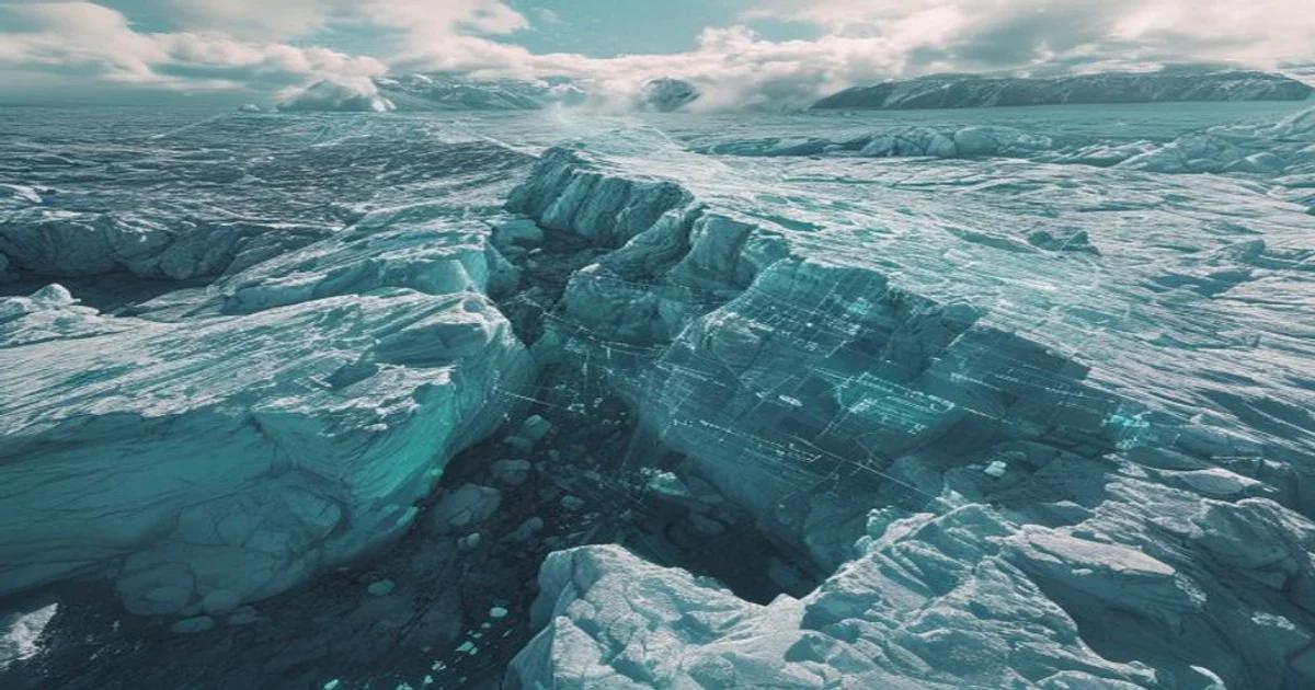
One of the most persistent hurdles in glaciology is the 'calving front'—the location where glaciers break off into the ocean. Calving events are inherently unpredictable, but machine learning models are now being trained to recognize the pre-cursor seismic signals and fracture patterns that occur moments before a major collapse. Through reinforcement learning, these models evolve by testing predictions against actual satellite outcomes, creating a self-improving loop of predictive accuracy.
Ethical Implications and Global Policy
When we deploy AI to forecast the loss of vital freshwater reserves, we are essentially building a digital warning system for humanity. The data derived from these models informs international policy, urban planning for coastal cities, and agricultural water allocation. As we rely more heavily on these 'black box' algorithms, transparency becomes paramount. Scientists must ensure that the training data is representative of diverse glaciological environments, from the Andes to the Himalayas, to avoid geographical bias in global climate mitigation strategies.
Overcoming Computational Limits with Edge Computing
Processing petabytes of cryospheric data requires immense infrastructure. The next frontier involves pushing AI models to the edge—placing low-power computing modules directly on remote autonomous underwater vehicles (AUVs) and robotic drones that traverse the polar ice. This allows for 'on-the-fly' data processing, where the system only transmits the most relevant anomalies back to base stations. This reduction in data transmission load enables a wider, denser network of autonomous sensors, essentially creating a 'smart' Arctic that can self-monitor in real time.
Future Directions in Cryosphere Analytics
- Hybrid Modeling: Combining physics-based equations with data-driven neural networks to ensure predictions remain within the bounds of natural laws.
- Quantum Acceleration: Exploring quantum algorithms to solve the complex fluid dynamics required to model sub-glacial water channels.
- Democratizing Data: Creating open-source AI frameworks that allow researchers from developing nations to contribute to and benefit from global glacial monitoring initiatives.
Conclusion: The Path Forward
The marriage of artificial intelligence and glaciology represents one of the most critical applications of modern technology. While no model can replace the necessity for global emission reductions, these AI-driven tools provide the clarity needed to navigate the uncertain climate future. By turning data into foresight, we move one step closer to protecting the cryosphere and the billions of people whose lives depend on the stability of our planet\'s icy regulators.