
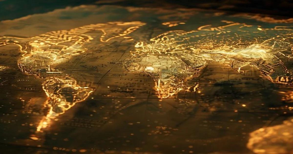
The Convergence of Antiquity and Computation
Historical cartography serves as the backbone of our understanding regarding how human civilizations perceived their spatial reality. For centuries, physical decay, fire, war, and the slow erosion of time have rendered countless maps fragmented or entirely illegible. Traditionally, the restoration of these artifacts required decades of manual labor by highly specialized archivists. Today, the landscape is shifting. AI-driven historical cartographic reconstruction is transforming how we recover our collective past by leveraging deep learning architectures to 'see' what has been lost to history.
The Mechanics of Algorithmic Recovery
At the core of this innovation lies the application of Convolutional Neural Networks (CNNs) and Generative Adversarial Networks (GANs). These systems are trained on massive datasets of extant historical maps—from Ptolemaic projections to 17th-century portolan charts. By analyzing the stylistic idiosyncrasies, stroke patterns, and ink degradation of thousands of authentic examples, these models learn to differentiate between intentional artistic flair and the random noise caused by environmental damage.
'The challenge with historical cartography is not just pixel restoration, but the preservation of historical veracity in a sea of digital hallucinations,' notes leading researchers in the field of AI digital humanities.
Predicting the Unseen
When a section of a map is torn or erased, the AI does not merely use basic inpainting tools. Instead, it utilizes context-aware algorithms that synthesize surrounding geographic data with known historical survey metrics. For instance, if a map shows a partial coastline, the AI calculates the likely trajectory based on the typical projection method used by the cartographer of that era. This process involves several critical steps:
- Feature Extraction: Identifying distinct symbols, compass roses, and typography styles.
- Georeferencing: Aligning fragmented map segments with modern satellite topography to verify accuracy.
- Toponym Restoration: Using Large Language Models (LLMs) to infer the names of towns or regions that have become illegible due to ink fading.
Overcoming Historical Hallucinations
One of the greatest hurdles in using Generative AI for historical work is the risk of hallucination—where the model invents features that were never present. To mitigate this, practitioners are moving toward 'constrained reconstruction.' In this paradigm, the AI is tethered to a database of verified historical gazetteers and primary source texts. Before the model renders a final output, the system cross-references the proposed restoration against archival census data or travel logs from the relevant period.
The Impact on Archeology and History
By automating the reconstruction process, researchers can now process thousands of maps in a fraction of the time. This opens up entirely new avenues of inquiry, such as tracking the evolution of trade routes or the impact of environmental changes on ancient urban planning. Furthermore, by digitizing and repairing these archives, we create a more accessible portal for the public to engage with history. The democratization of historical data through AI is not just about making things look clean—it is about restoring the integrity of our shared narrative.
Future Horizons in Cartography
As we look toward the future, the integration of multi-modal AI systems will allow for even more sophisticated analysis. We are entering an era where an AI could analyze a map, translate the marginalia in a dead language, and correlate that information with current tectonic plate movement models to explain why certain regions appear misaligned on antique charts.
- Edge Computing: Enabling real-time map reconstruction in the field for archeologists.
- Self-Supervised Learning: Training models on incomplete datasets without needing human labels.
- Quantum Processing: Accelerating the resolution of massive high-definition scans of colonial-era atlases.
The Ethical Imperative
We must remain vigilant regarding the ethical implications of AI-driven reconstruction. The danger of 'digital rewriting' of history is real. If an algorithm is trained on a biased dataset that reflects imperialist perspectives, the reconstruction might inadvertently erase the cultural nuances of indigenous mapping traditions. Therefore, the goal is to develop transparent, open-source AI frameworks that allow historians to audit the logic behind every reconstructed pixel. This ensures that while we use AI to enhance our view of history, we do not inadvertently corrupt the very truth we seek to recover.
Ultimately, the fusion of advanced machine learning and archival science is providing us with a high-fidelity 'time machine.' Every reconstructed map provides a clearer lens through which we can view the evolution of human movement, borders, and identity. As these technologies mature, they will continue to bridge the gap between the static artifacts of our ancestors and the dynamic, data-driven insights of the 21st century. The map is no longer just a piece of paper; it is a living document, constantly being rediscovered through the analytical power of artificial intelligence.