The Frontier of the Abyss
The ocean floor, often referred to as the last frontier on Earth, hides vast quantities of minerals critical for the global energy transition. From manganese nodules to cobalt-rich crusts, these resources are essential for the production of electric vehicle batteries, wind turbines, and advanced electronics. However, mapping these resources across the vast, dark, and high-pressure environment of the abyssal plains has historically been an insurmountable challenge. Today, the convergence of AI and marine robotics is fundamentally altering our ability to survey these deep-sea landscapes.
Transforming Raw Sonar into Actionable Intelligence
Traditionally, deep-sea mapping relied on extensive ship-time and manual data interpretation. Scientists would spend months analyzing acoustic data back at labs. Modern systems utilize Machine Learning to process raw sonar data in real-time. By training deep neural networks on historical bathymetric datasets, autonomous underwater vehicles (AUVs) can now differentiate between geological formations, identifying potential mineral concentrations as they glide silently through the deep.
'The integration of high-resolution computer vision and edge computing allows us to perform data synthesis at the point of capture, transforming how we view the seafloor.'
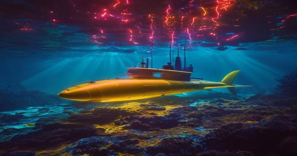
The Role of Autonomous Underwater Vehicles
AUVs have moved beyond simple data loggers; they are now intelligent agents. Equipped with sensor suites that include multi-spectral cameras and laser line scanners, these machines utilize sophisticated algorithms to adjust their survey patterns dynamically based on what they detect. If a specific geological anomaly is identified, the AI instructs the AUV to perform a high-density survey of that specific coordinate, ensuring precision that human-operated remotely operated vehicles (ROVs) could never achieve under remote latency constraints.
Predictive Modeling and Resource Estimation
One of the most significant hurdles in deep-sea mining is the uncertainty regarding deposit quality. By applying advanced statistical modeling to the data harvested by AI-enabled swarms, companies can generate 3D heat maps of mineral density. These models account for variables such as current flow, sedimentation rates, and substrate hardness, providing a comprehensive risk-reward analysis before a single physical extraction tool touches the sediment.
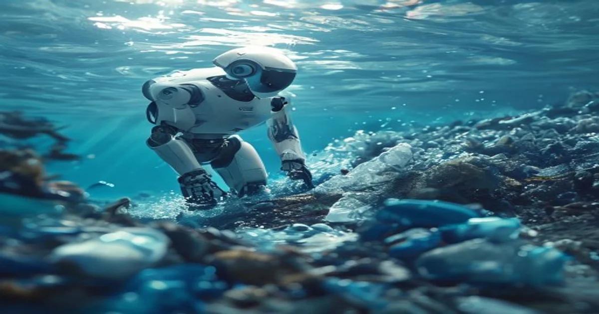
Ethics and Environmental Stewardship
As we look toward the potential of the deep sea, we must emphasize Innovation that prioritizes ecological safety. AI is not just for extraction; it is arguably more vital for conservation. By monitoring real-time plumes and turbidity levels, AI systems can trigger automatic shutdowns of equipment if thresholds are exceeded. This closed-loop system is essential for maintaining the integrity of marine biodiversity, ensuring that the search for resources does not lead to irreparable habitat loss.
The Technical Architecture of Deep-Sea AI
To operate at depths exceeding 4,000 meters, hardware must be ruggedized and software must be resilient. Modern AI architectures deployed in these environments often utilize:
- Convolutional Neural Networks (CNNs) for image classification of seafloor substrates
- Recurrent Neural Networks (RNNs) for predictive navigation in turbulent currents
- Distributed Edge Computing for real-time telemetry processing
This technology stack allows the vehicle to learn the environment it is in, adapting its pathing to avoid obstacles while maximizing the coverage area of the sensors. The result is a highly efficient loop of information gathering that minimizes power consumption, which is critical for long-endurance autonomous missions.
Future Trends in Marine Data Science
Looking forward, we anticipate the deployment of stationary AI-hubs on the seafloor, which will act as local processing centers for roving AUVs. This 'mesh-network' approach will allow for continuous monitoring of vast areas, effectively turning the ocean floor into a smart environment. As Data Science continues to evolve, the resolution of our maps will move from the meter-scale to the centimeter-scale, enabling precise identification of target minerals with near-zero error rates.
Conclusion: A New Era of Discovery
AI-driven deep-sea mineral mapping is more than just a technological upgrade; it is a paradigm shift in how humanity interacts with the planet. While the challenges of the deep sea are immense, the synergy between software intelligence and autonomous hardware provides a path forward that is both efficient and increasingly sustainable. By leveraging these advanced digital tools, we can better understand our planet, secure the materials necessary for a greener future, and protect the fragile ecosystems that reside in the deep dark reaches of our oceans. As we continue to refine these systems, the line between digital representation and physical reality becomes ever thinner, bringing us closer to a future where we can manage Earth resources with unprecedented insight and care. The journey into the abyss has only just begun, and AI is undoubtedly our most reliable guide through the darkness.